Open route Service
...
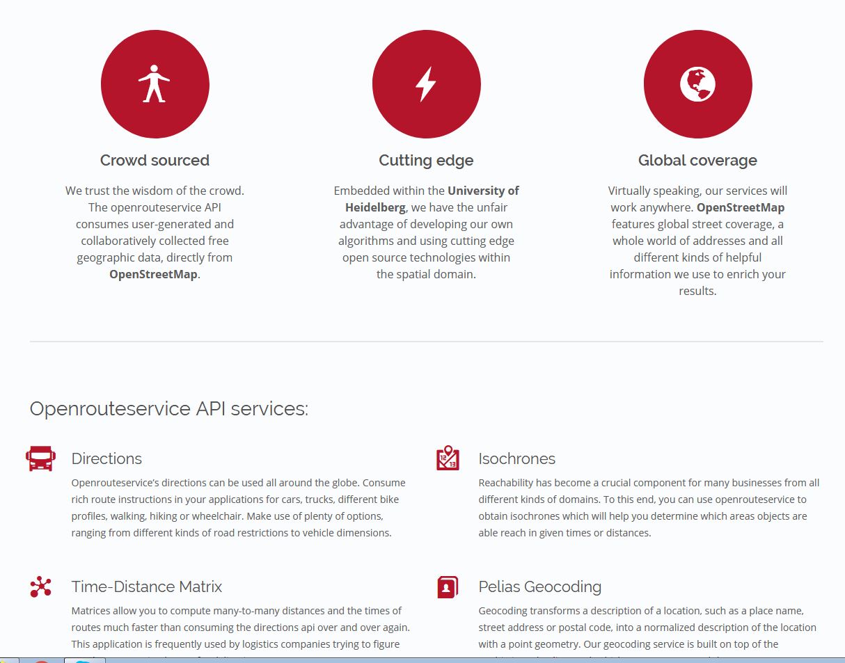
- Crowd sourced : We trust the wisdom of the crowd. The openrouteservice API consumes user-generated and collaboratively collected free geographic data, directly from OpenStreetMap.
- Cutting edge : Embedded within the University of Heidelberg, we have the unfair advantage of developing our own algorithms and using cutting edge open source technologies within the spatial domain.
- Global coverage : Virtually speaking, our services will work anywhere. OpenStreetMap features global street coverage, a whole world of addresses and all different kinds of helpful information we use to enrich your results.
Openrouteservice API services:
- Directions : Openrouteservice’s directions can be used all around the globe. Consume rich route instructions in your applications for cars, trucks, different bike profiles, walking, hiking or wheelchair. Make use of plenty of options, ranging from different kinds of road restrictions to vehicle dimensions.
- Isochrones : Reachability has become a crucial component for many businesses from all different kinds of domains. To this end, you can use openrouteservice to obtain isochrones which will help you determine which areas objects are able reach in given times or distances.
- Time-Distance Matrix : Matrices allow you to compute many-to-many distances and the times of routes much faster than consuming the directions api over and over again. This application is frequently used by logistics companies trying to figure out the most optimal route for deliveries.
- Pelias Geocoding : Geocoding transforms a description of a location, such as a place name, street address or postal code, into a normalized description of the location with a point geometry. Our geocoding service is built on top of the sophisticated Pelias Stack which aggregates several data sources.
- POIs : Openpoiservice allows you to find places of interest around or within given geographic coordinates. You can search for categories of points of interest around a point, path or even within a given polygon and consume the rich meta information returned by the api for your needs.
- Mapsurfer Tiles : Our maps are generated by the Mapsurfer.NET framework and provide high detail on different zoom levels. The easily readable tiles provide a comprehensive set of elements, comprise a high quality labelling and are built from different open source data sets.
Organisations utilisatrices ou intéressées pour utiliser la ressource :
Contributeur(s) :
Tags : OSM, route planner, multimodal, isochrone
Catégories : Logiciel, Données
Thème : Open Street Map OSM, Accessibilité dans les transports, Données ouvertes, Logiciel Libre
Référent :
Défi auquel répond la ressource : Augmenter les connaissances partagées en cartographie et usages des véhicules et réseaux de transports
Personnes clés à solliciter :
Autre commun proche :
Richesse recherchée :
Compétences recherchées :
Communauté d'intérêt : Communauté Cartographie Contributive, Communauté autour des données ouvertes, Communauté du Logiciel Libre
Type de licence :
Conditions Générales d’Utilisation (CGU) :
Niveau de développement :
Lien vers l’outil de gestion des actions :
Lien vers l’outil de partage de fichiers :
Besoins :
Prochaines étapes :
Documentation des expérimentations :
Autres informations
Liste des acteurs qui utilisent ou souhaitent utiliser ce commun :
Liste des CR d’atelier en lien avec ce commun :

 Français
 English
 Italiano