Just Go Carte transport
Purpose
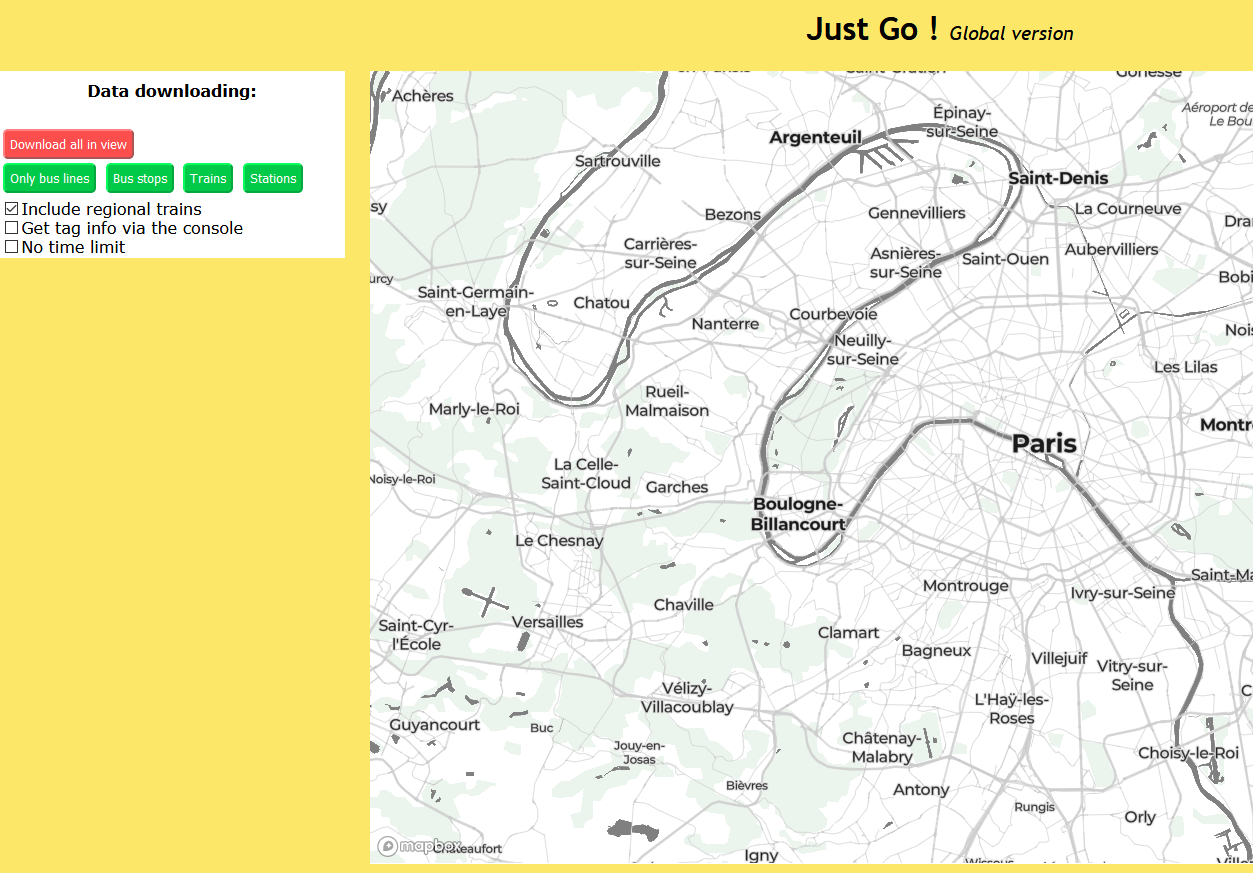
The goal was to make an urban transportation map which would be more readable than the existant ones, especially by taking into account the colour attribute for bus and train lines, and this for any city in the world.
How it works
The map is displayed by Mapbox, composed of a custom background with little saturated colours, and a dozen of transportation layers on top, whose data has to be downloaded. "JustGo" was originally a bus transportation map for Paris with itineraries (justgo.alwaysdata.net), then transformed and translated to become this project. The website is here : https://justgo.alwaysdata.net/global/ It makes use of osmtogeojson and the Overpass API.
Organisations utilisatrices ou intéressées pour utiliser la ressource :
Contributeur(s) :
Tags : OSM, carte, map, Transports publics
Catégories : Logiciel, Données, Communauté
Thème : Open Street Map OSM
Référent :
Défi auquel répond la ressource : Augmenter les connaissances partagées en cartographie et usages des véhicules et réseaux de transports
Personnes clés à solliciter : Jean-Louis Zimmermann, Noémie Lehuby
Autre commun proche : OverPass Turbo, Outils OSM
Richesse recherchée :
Compétences recherchées :
Communauté d'intérêt : Communauté Cartographie Contributive, Communauté autour des traces de mobilité et des données associées, Communauté autour des données ouvertes
Type de licence :
Conditions Générales d’Utilisation (CGU) :
Niveau de développement :
Lien vers l’outil de gestion des actions :
Lien vers l’outil de partage de fichiers :
Besoins :
Prochaines étapes :
Documentation des expérimentations :
Autres informations
Liste des acteurs qui utilisent ou souhaitent utiliser ce commun : aucun pour le moment
Liste des CR d’atelier en lien avec ce commun :

 Français
 English
 Italiano