Turn a Tesla into a mapping vehicle with Mapillary
Turn a Tesla into a mapping vehicle with Mapillary
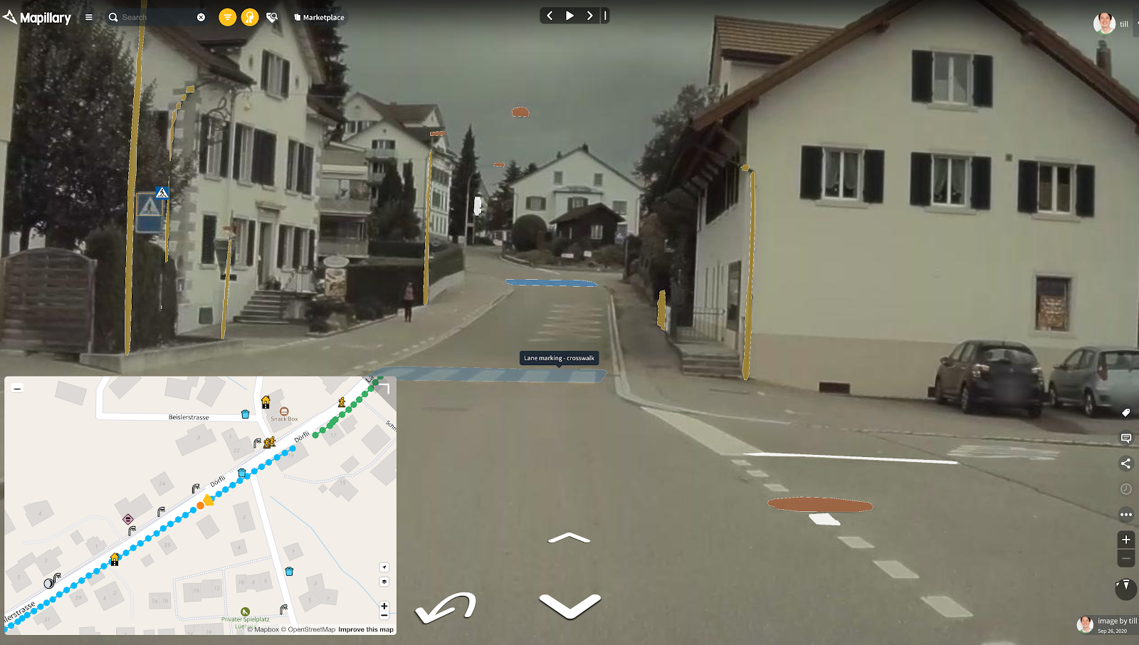
Tesla vehicles have often been described as “computers on wheels”. They also include cameras for assisted driving features. In the Mapillary community, these features have raised the question whether the imagery from the car’s cameras could be collected and uploaded to Mapillary. In this post, we present a solution to do exactly that.
GitHub link : https://github.com/marcone/teslausb
Organisations utilisatrices ou intéressées pour utiliser la ressource :
Contributeur(s) :
Tags : mapillary, Tesla
Catégories : Logiciel, Données, Connaissance
Thème : Open Street Map OSM, Voiture Connectée, Données ouvertes, Traces de mobilité et des données associées, Logiciel Libre
Référent :
Défi auquel répond la ressource : Améliorer les connaissances sur le contenu carbone de l'électricité utilisée pour charger un véhicule en temps réel
Personnes clés à solliciter :
Autre commun proche : Mapillary, Outils OSM
Richesse recherchée :
Compétences recherchées :
Communauté d'intérêt : Communauté autour des traces de mobilité et des données associées, Communauté Voiture Connectée, Communauté des acteurs de l'urbanisme et de la ville
Type de licence :
Conditions Générales d’Utilisation (CGU) :
Niveau de développement : Disponible mais non validé
Lien vers l’outil de gestion des actions :
Lien vers l’outil de partage de fichiers :
Besoins :
Prochaines étapes :
Documentation des expérimentations :
Autres informations
Liste des acteurs qui utilisent ou souhaitent utiliser ce commun : aucun pour le moment
Liste des CR d’atelier en lien avec ce commun :

 Français
 English
 Italiano